


-
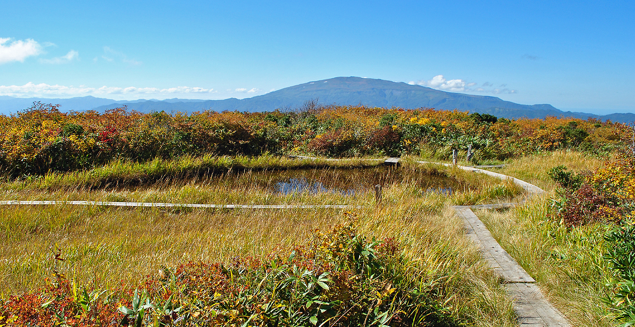
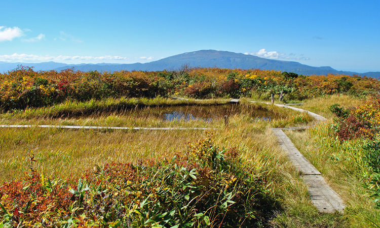
View of Mt. Gassan from Tombo Marsh
-
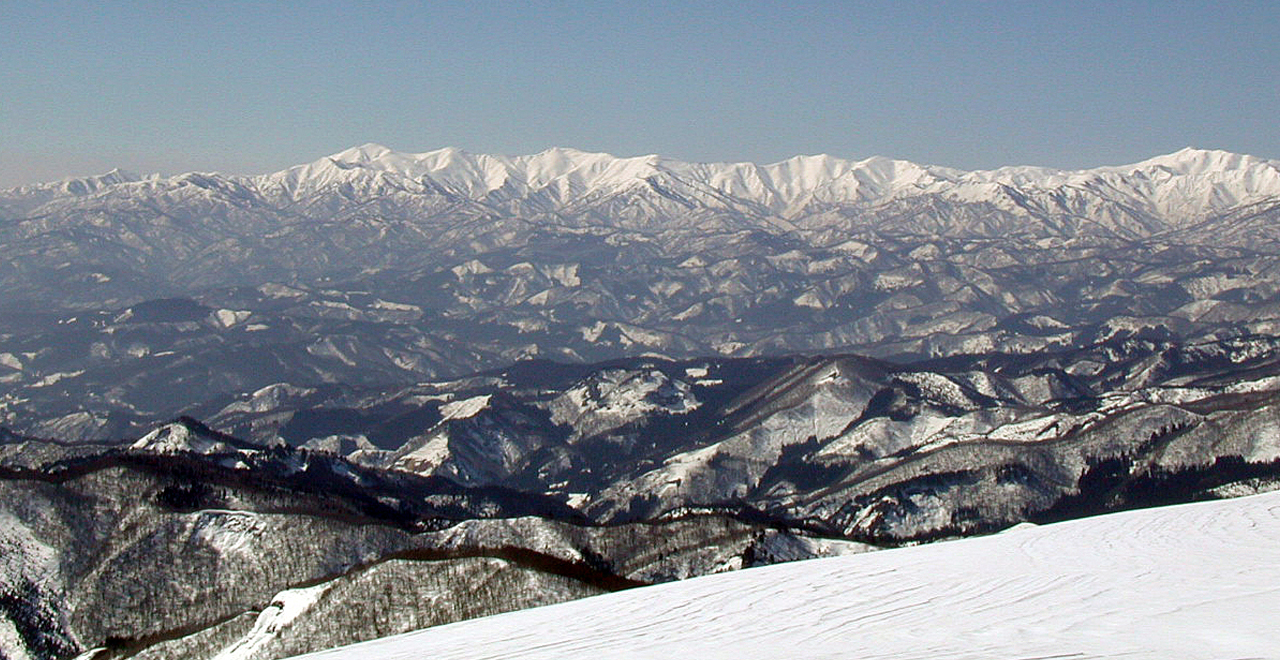
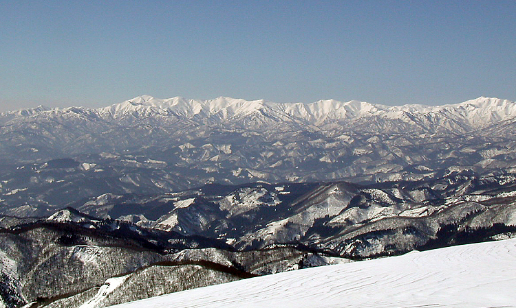
Asahi Mountain Range in the distance
-
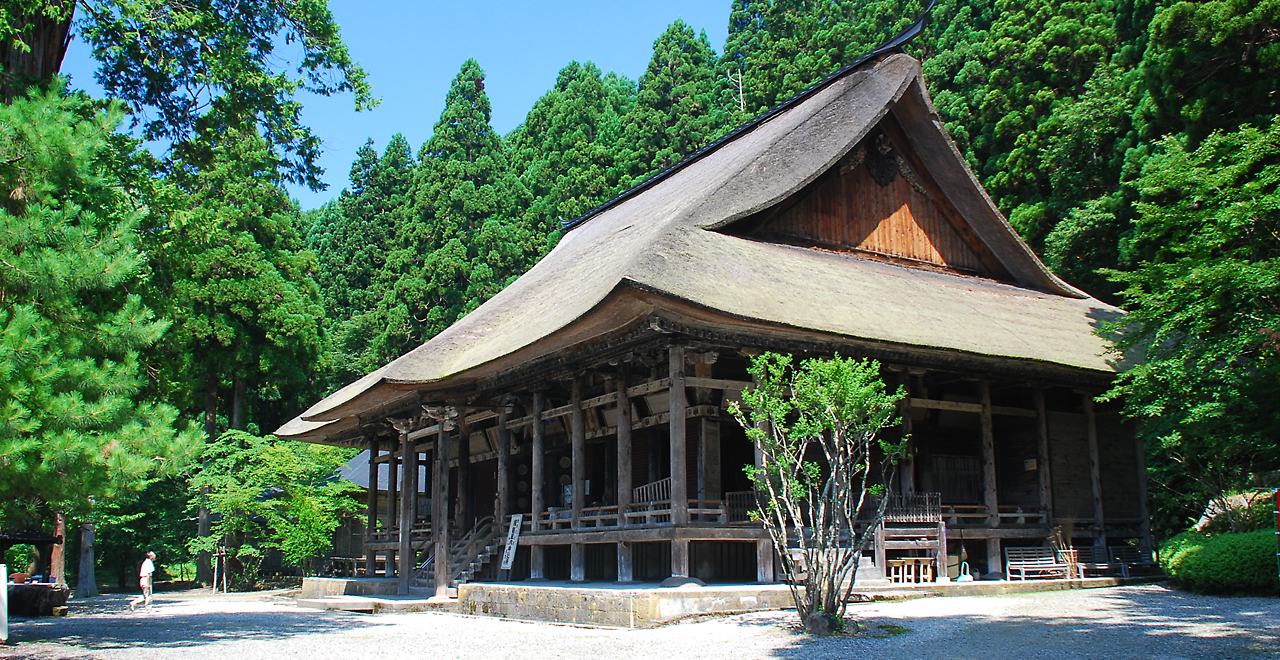
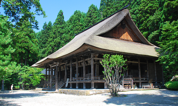
Main hall of the Jionji Temple
-
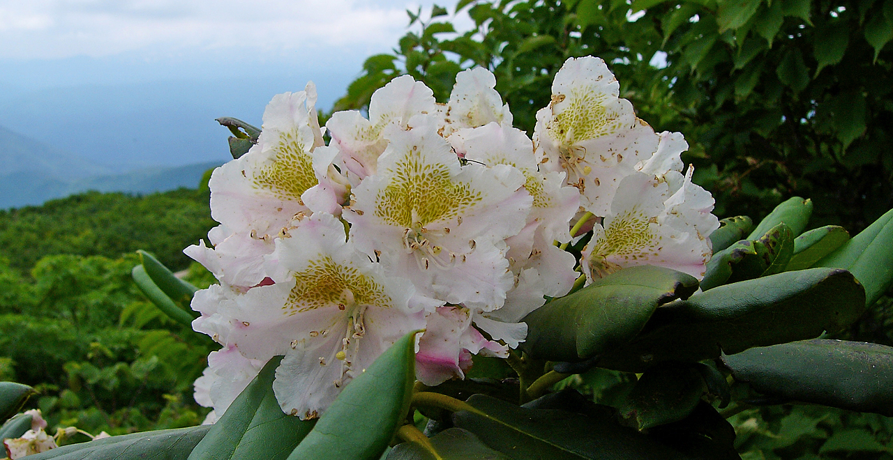
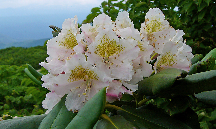
Rhododendron
-
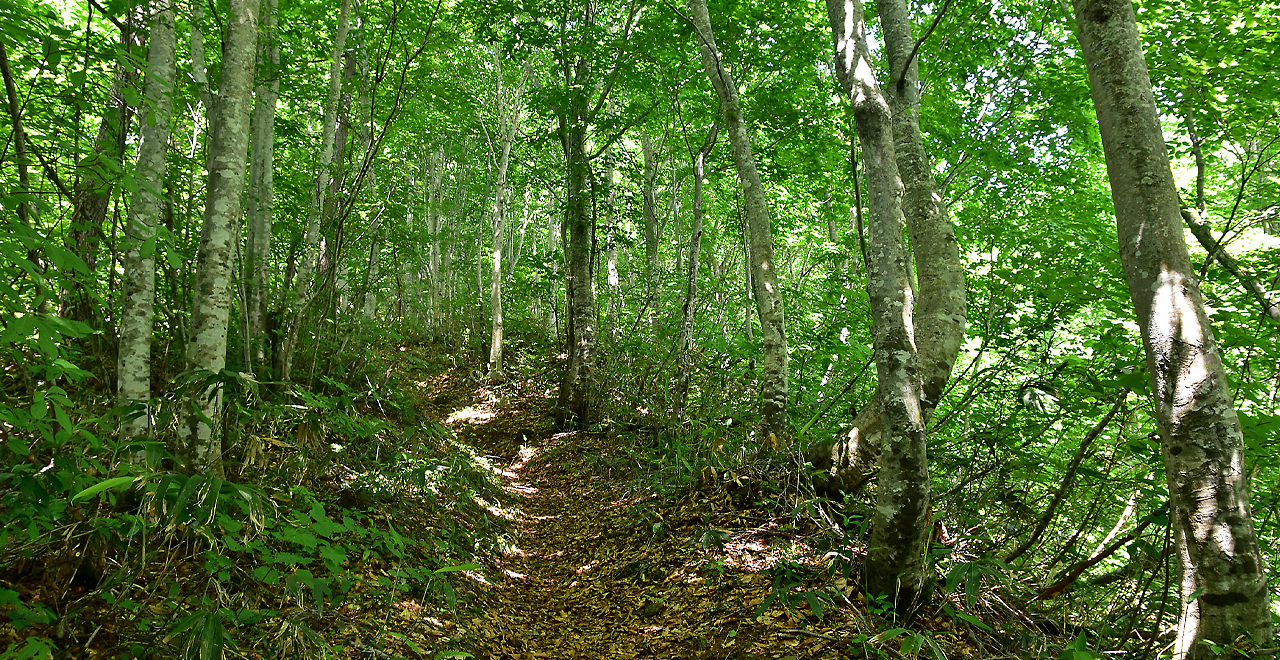
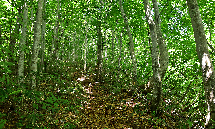
Brilliant green Japanese beech grove
-
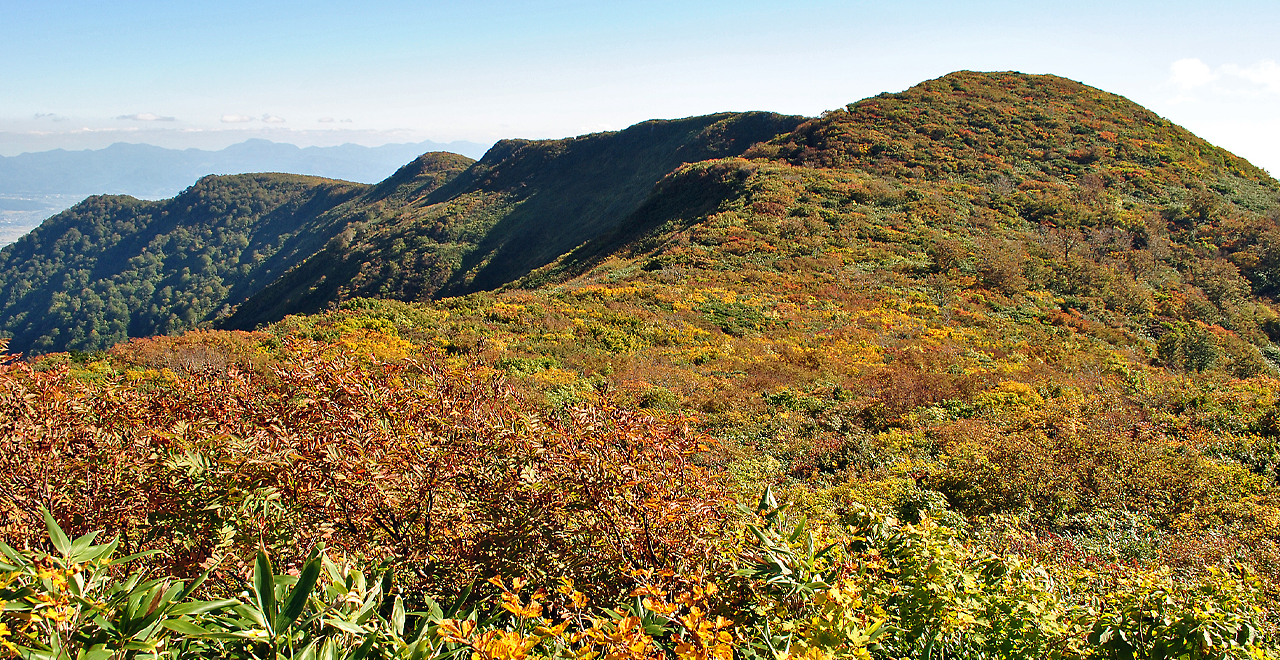
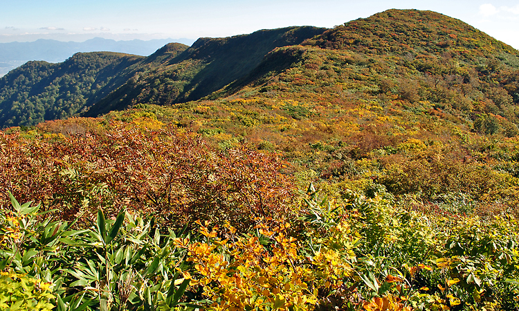
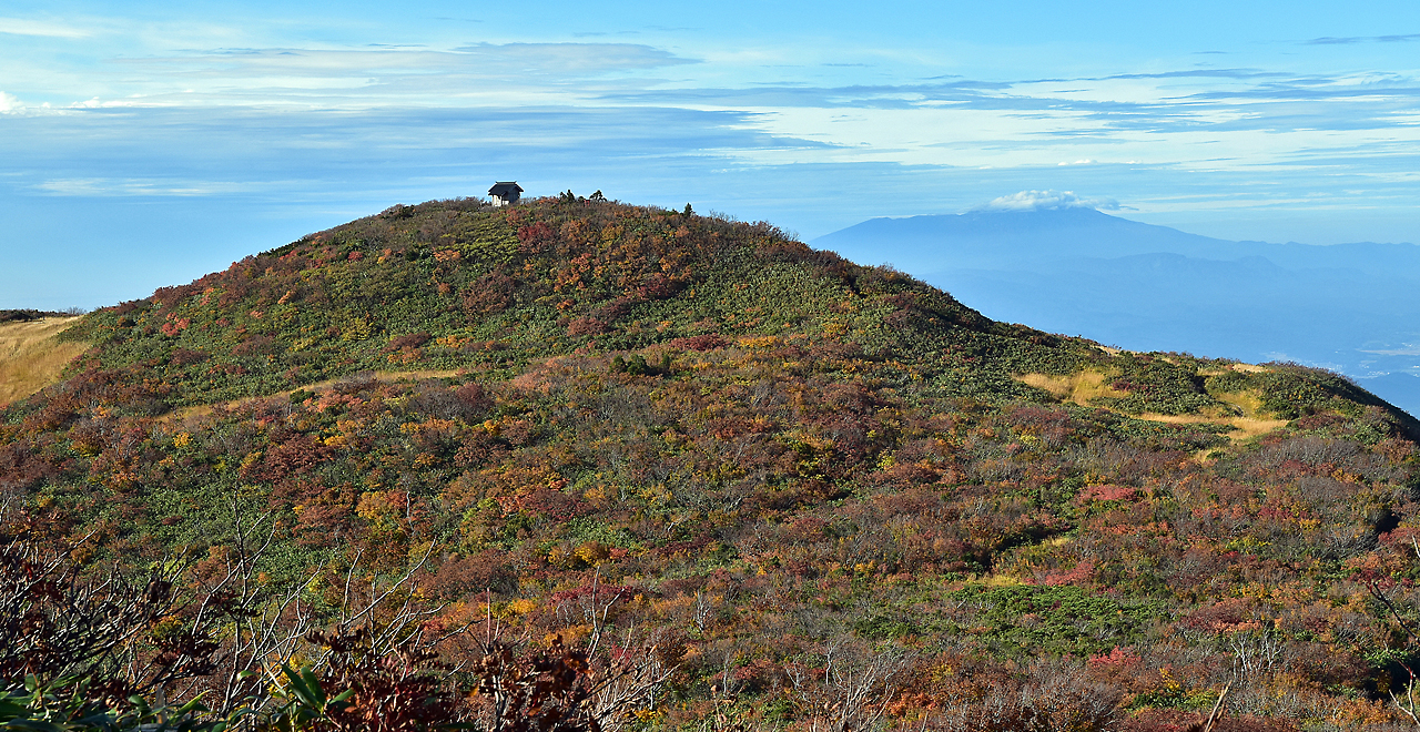
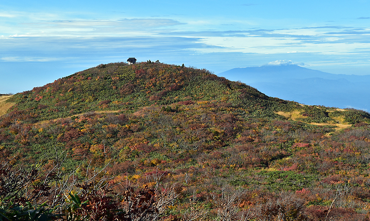
Autumn foliage on Mt. Hayama
-
Hayama Shrine
-
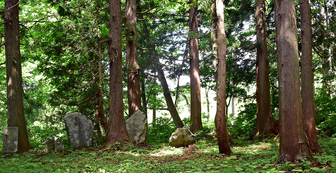
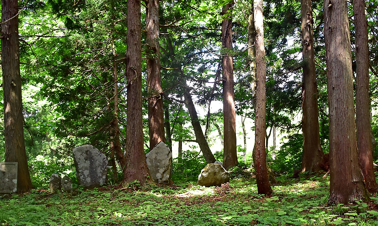
Former site of Daienin Temple
Hayama Recreation Forest (Mt. Hayama)
630.29ha
Elevation Lowest: 890 m / Average: 890–1,462 m / Highest: 1,462 m
Approach a peak important in Japanese mountain ascetism
―Enjoy superb views and natural beauty that changes with the seasons―
Approach a peak important in Japanese mountain ascetism
―Enjoy superb views and natural beauty that changes with the seasons―
- Newest information
- Area
- Activities
- Overview
- Latest Information
- Usage Guide
- Facility
- Map
- Location
- Access
(Distances and times are
provided as a guide only) - Management office
contact details - Information on Other Local
Tourist Attractions - Official Tourist Information
- Recreation Forest
Management Committee - Supporters
- Other
- Newest information
- Gathering information in advance is important to safely enjoy forest recreation that brings you closer to nature.
・CHECK
・When you go out, please check local tourist and related information and gather information on road closures, weather conditions, etc.
- Area
- Tohoku
- Activities
- Birdwatching (Includes surrounding area) Shrine / Temple (Outside the forest)
- Overview
-
- Geographical/topographical features
- Mt. Hayama is a sacred mountain with an elevation of 1,462 m, rising at the border between Sagae City, Murayama City and Okura Village.
Sometimes called "Mt. Murayama-Hayama" to distinguish it from other Mt. Hayamas found throughout Japan, locals affectionately simply call the peak "Mt. Hayama." It is an extinct volcano. A horseshoe-shaped volcanic explosion crater forms the edge of the summit, which is also where the River Tominami starts. The Okunoin (inner hall) of Hayama Shrine stands at the summit and offers a magnificent view of Mt. Gassan and the Asahi Mountain Range. - Historical/cultural features
- Since the 8th century CE, Mt. Hayama has been important to the practice of Shugendo (Japanese mountain ascetism), a mix of nature worship, Buddhism and esoteric Buddhism. The Three Mountains of Dewa (Dewa Sanzan) currently refers to Mt. Haguro, Mt. Gassan and Mt. Yudono, but at one time it referred to Mt. Gassan, Mt. Haguro and Mt. Hayama. The mountains of worship are believed to have changed with the times and due to shifting political dynamics.
The Dewa Sanzan pilgrimage became popular among common people during the Edo period (1603-1868). It is believed that a pilgrim can be reborn as a new soul while still alive by traveling through the present (symbolized by Mt. Haguro; Shokanseon-bosatsu [Buddha of Worldly Benefits]), the past (symbolized by Mt. Gassan; Amitabha [Buddha of the Salvation in the Afterlife]), and the future (symbolized by Mt. Yudono; Dainichi Nyorai [Symbol of Eternal Life]) and praying for happiness in the present world, comfort after death, and reincarnation in the next world. This practice is also called a journey of rebirth (ritual of "three gates, three passages"). - Climate, flora and fauna
- The Recreation Forest experiences enchanting seasonal changes as the leaves transition from fresh green in the spring to crimson and yellow in the autumn. Grasslands and ponds can be found near the ridgeline, where alpine plants such as Mitsugashiwa (buckbean (Menyanthes trifoliata)) and Shakunage (rhododendron (Rhododendron subgen. hymenanthes)) grow in clusters.
Many giant trees can be seen in the Recreation Forest, including the "Jii Cedar" (10.5 m around the root collar and 8.25 m around the trunk) on Mt. Haguro, which has been designated a national natural monument and is estimated to be over 1,000 years old, and the "Odan Cedar at Dainichibo Temple" (estimated to be 1,800 years old), to which Shugendo practitioners pray for the success of their ascetic training along the pilgrimage route leading to Mt. Yudono.
(Search site of cultural assets of Yamagata: "Jii Cedar" [External link] https://www.pref.yamagata.jp/cgi-bin/yamagata-takara/?m=detail&id=1159) - Attractions
- Mt. Hayama is familiar to local people as a perfect place for an easy day hike for hikers of all skill levels, including families. Four hiking courses are available, including one along which hikers can walk through flowering meadows after drinking cold spring water and one where Dodantsutsuji (Japanese enkianthus (Enkianthus perulatus)) trees hundreds of years old can be seen. The Hayama Shrine (Okunoin) at the summit offers a superb panoramic view of the six peaks in Yamagata Prefecture that are listed among the 100 Famous Japanese Mountains (Mt. Gassan, Mt. Oasahi, Mt. Chokai, Mt. Zao, Mt. Iide, and Mt. Azuma), virgin Buna (Japanese Beech (Fagus crenata Blume)) forests and the Murayama region.
The Jionji Temple in Sagae City is a precious cultural property significant in the history of Japanese Buddhism, including its main hall, which has been designated a national important cultural property. On Mt. Haguro, which is about a one-and-half-hour drive from Mt. Hayama, there are shukubo (temple lodgings) where hikers can stay overnight and have shojin ryori (vegetarian dishes).
- Latest Information
-
- Information on temporarily unavailable facilities
- Jubuichi Pass Hiking Course (Currently, the forest road beyond the national highway is impassable due to a landslide.)
- Regular events
- Mt. Hayama hikes (hosted by Murayama City around June, and by Sagae City around October)
- Attention
- Please confirm the latest information on hiking, etc. before use.
- Warnings (Flora and fauna)
- Asiatic black bear (Ursus thibetanus): When entering the forest, please carry a bear bell and stay in a group. Check for local information on bear sightings and warnings and follow instructions.
Suzumebachi (hornets (Vespidae)): If you are attacked and stung by wasps, there is a risk of death, so please be careful. Do not try to drive hornets away with your hands. If you happen to approach a hive by mistake, back away slowly. Tick: Long-sleeved tops and long trousers must be worn to prevent tick bites.
- Usage Guide
-
- Entrance fee
- Free
- Operating hours and seasons
- Mid-May through mid-October
- Staffed facilities such as administration buildings
- A caretaker is stationed at the Hayama Rest House (Public Cottage) from around May through mid-October.
- Accommodation options
- Sagae City: Sachiu Fureai Yuyukan / Manabi-no-Sato TASSHO
- Okura Village: Hijiori Onsen (hot spring)
- Facility
- Toilets and drinking fountains (Outside the forest) 1 location Parking lot (Outside the forest) 1 location Visitor center (staffed only)(Outside the forest) 1 location (May through mid-October) Cultural Property (nationally designated) : Jii Cedar, Honzan Jionji Temple (Outside the forest)
- Map
- Location
- Tashiro, Sagae City, Yamagata Prefecture
- Access
(Distances and times are provided as a guide only) -
-
Parking lot capacity / parking charges- Hata Trailhead (Hayama Rest House [Public Cottage] Parking Lot):
Free parking for about 24 vehicles - Sanbonhashi Trailhead Parking Lot:
Free parking for about 5 vehicles
- Hata Trailhead (Hayama Rest House [Public Cottage] Parking Lot):
- Nearby tourism facilities
- - Honzan Jionji Temple: National important cultural property (About 8 km / 20 minutes by car from Sagae Station)
- - Mogami Tokunai Memorial Museum (Murayama City)
- Management office contact details
-
Yamagata District Forest OfficeTEL:050-3160-5850
https://www.rinya.maff.go.jp/tohoku/syo/yamagata/index.html
- Information on Other Local Tourist Attractions
- ー
- Official Tourist Information
-
Cherry Tourism Division, Sagae Municipal OfficeTEL : 0237-86-2111Hayama Rest House (Public Cottage)TEL : 0237-87-5037Lifelong Learning Division, Murayama Municipal OfficeTEL : 0237-55-2111Commerce, Industry and Tourism Section, Industrial Promotion Division, Okura Municipal OfficeTEL:0233-75-2111Sagae City website (Mt. Hayama hiking map available) [External link]Yamagata-Yama [External link]
- Recreation Forest Management Committee
- ー
- Supporters
- ー
- Other
-
Gassan Visitor Center [External link]
PDF形式のファイルをご覧いただく場合には、Adobe Readerが必要です。
Adobe Readerをお持ちでない方は、バナーのリンク先からダウンロードしてください。
![]()